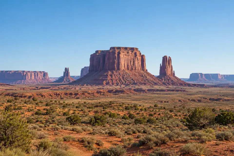
Klamath Falls, Oregon
Klamath Falls, OR weather history and record highs today
Weather, monthly averages and records.
Saturday : a low of 33°F in Klamath Falls, OR, the warmest 14 November night since 2016, tied 27th warmest of 122 (with 1981, 1974, 1933 and 1 other year).
Weather in Klamath Falls
- High
- 49°F
- Warmest since 2025
- 54th warmest of 123
- Low
- 33°F
- Warmest since 2016
- 27th warmest of 122
No measurable precipitation in Klamath Falls, OR for 1 day to Saturday 14 November 2026.
How does the day compare with the average?
The high of 49°F on Saturday 14 November 2026 in Klamath Falls, OR was 1.7°F below the average high for the date (50.7°F), colder than 58 of every 100 days at this time of year (1991 to 2020). The low of 33°F on Saturday 14 November 2026 in Klamath Falls, OR was 6.6°F above the average low for the date (26.4°F), warmer than 80 of every 100 nights at this time of year (1991 to 2020).
The average 14 November in Klamath Falls, OR (1991 to 2020): a high of 50.7°F, and eight years in ten between 41°F and 59°F; a low of 26.4°F, and eight years in ten between 18°F and 36.3°F.
A high of 49°F or less on 14 November has happened in 70 of 123 years at the Klamath Falls, OR station, 2026 included; the last time before 2026 was 2024. A low of 33°F or more on 14 November has happened in 31 of 122 years at the Klamath Falls, OR station, 2026 included; the last time before 2026 was 2016.
At the Klamath Falls, OR station on 14 November: record high 69°F (1995), record low 9°F (1985 and 1978).
1 January to 14 November 2026 averaged 50.6°F in Klamath Falls, OR, 0.5°F above the 1991 to 2020 average for those days (50.1°F), inside the range of 48.4°F to 52.5°F that eight years in ten fall in.
- Normal range, 18 to 36.3°F
Every year as a table
Every 14 November high in Klamath Falls, OR since 1900: 49°F in 2026; the highest is 69°F, in 1995.
| Year | High, °F | Low, °F |
|---|---|---|
| 2026 | 49 | 33 |
| 2025 | 55 | 31 |
| 2024 | 41 | 30 |
| 2023 | 54 | 32 |
| 2022 | 42 | 17 |
| 2021 | 62 | 31 |
| 2020 | 42 | 30 |
| 2019 | 58 | 32 |
| 2018 | 59 | 13 |
| 2017 | 49 | 28 |
| 2016 | 62 | 37 |
| 2015 | 59 | 21 |
| 2014 | 52 | 41 |
| 2013 | 55 | 18 |
| 2012 | 48 | 25 |
| 2011 | 50 | 20 |
| 2010 | 59 | 32 |
| 2009 | 37 | 18 |
| 2008 | 57 | 25 |
| 2007 | 52 | 25 |
| 2006 | 45 | 23 |
| 2005 | 52 | 32 |
| 2004 | 47 | 23 |
| 2003 | 49 | 27 |
| 2002 | 50 | 26 |
| 2001 | 55 | 40 |
| 2000 | 31 | 16 |
| 1997 | 49 | 29 |
| 1996 | 47 | 26 |
| 1995 | 69 | 36 |
| 1994 | 41 | 18 |
| 1993 | 46 | 22 |
| 1992 | 58 | 26 |
| 1991 | 41 | 29 |
| 1990 | 41 | 29 |
| 1989 | 48 | 20 |
| 1988 | 45 | 27 |
| 1987 | 43 | 29 |
| 1986 | 50 | 35 |
| 1985 | 38 | 9 |
| 1984 | 43 | 24 |
| 1983 | 41 | 23 |
| 1982 | 44 | 15 |
| 1981 | 47 | 33 |
| 1980 | 40 | 17 |
| 1979 | 56 | 22 |
| 1978 | 42 | 9 |
| 1977 | 52 | 34 |
| 1976 | 43 | 31 |
| 1975 | 57 | |
| 1974 | 55 | 33 |
| 1973 | 44 | 31 |
| 1972 | 49 | 38 |
| 1971 | 37 | 28 |
| 1970 | 46 | 27 |
| 1969 | 60 | 25 |
| 1968 | 38 | 20 |
| 1967 | 56 | 44 |
| 1966 | 54 | 37 |
| 1965 | 50 | 36 |
| 1964 | 34 | 10 |
| 1963 | 50 | 41 |
| 1962 | 48 | 27 |
| 1961 | 58 | 20 |
| 1960 | 38 | 28 |
| 1959 | 55 | 17 |
| 1958 | 42 | 27 |
| 1957 | 40 | 29 |
| 1956 | 39 | 22 |
| 1955 | 32 | 11 |
| 1954 | 46 | 39 |
| 1953 | 50 | 37 |
| 1952 | 41 | 25 |
| 1951 | 44 | 37 |
| 1950 | 40 | 28 |
| 1949 | 55 | 30 |
| 1948 | 58 | 36 |
| 1947 | 38 | 27 |
| 1946 | 52 | 22 |
| 1945 | 44 | 30 |
| 1944 | 42 | 22 |
| 1943 | 53 | 30 |
| 1942 | 56 | 39 |
| 1941 | 56 | 44 |
| 1940 | 49 | 32 |
| 1939 | 50 | 26 |
| 1938 | 47 | 25 |
| 1937 | 45 | 35 |
| 1936 | 48 | 30 |
| 1935 | 44 | 21 |
| 1934 | 54 | 47 |
| 1933 | 51 | 33 |
| 1932 | 44 | 35 |
| 1931 | 41 | 21 |
| 1930 | 33 | 19 |
| 1929 | 50 | 17 |
| 1928 | 38 | 30 |
| 1927 | 43 | 30 |
| 1926 | 41 | 26 |
| 1925 | 39 | 23 |
| 1924 | 47 | 31 |
| 1923 | 55 | 33 |
| 1922 | 48 | 23 |
| 1921 | 57 | 37 |
| 1920 | 48 | 32 |
| 1919 | 52 | 25 |
| 1918 | 44 | 34 |
| 1917 | 40 | 30 |
| 1916 | 40 | 15 |
| 1915 | 39 | 23 |
| 1914 | 40 | 20 |
| 1913 | 50 | 20 |
| 1912 | 50 | 35 |
| 1911 | 41 | 32 |
| 1910 | 49 | 28 |
| 1909 | 33 | 19 |
| 1908 | 53 | 32 |
| 1907 | 55 | 28 |
| 1905 | 56 | 27 |
| 1904 | 57 | 30 |
| 1902 | 50 | 34 |
| 1901 | 50 | 37 |
| 1900 | 56 | 34 |
The forecast
| Date | High | Low |
|---|---|---|
| 39°FRecord 67°F, 1904 | 16°FRecord 5°F, 1977 | |
| Record 67°F, 1904 | Record 8°F, 1994 |
The month and the year
Every year's 1 to 14 November in Klamath Falls, OR, ranked by its mean temperature: November 2026 so far is the tied 52nd warmest of 119.
Every year, ranked, as a table
| Rank | Year | Mean, °F |
|---|---|---|
| 1 | 1941 | 48.6 |
| 2 | 2016 | 47.8 |
| 3 | 1921 | 47.4 |
| 4 | 1967 | 46.3 |
| 5 | 1900 | 46.1 |
| 6 | 1991 | 45.9 |
| 7 | 2025 | 45.8 |
| 8 | 1995 | 45.5 |
| 8 | 1953 | 45.5 |
| 10 | 1907 | 45.4 |
| 11 | 1976 | 45.3 |
| 12 | 1949 | 45.1 |
| 13 | 1962 | 45 |
| 13 | 1958 | 45 |
| 13 | 1950 | 45 |
| 13 | 1934 | 45 |
| 17 | 1997 | 44.9 |
| 18 | 1987 | 44.8 |
| 18 | 1965 | 44.8 |
| 20 | 1981 | 44.2 |
| 20 | 1954 | 44.2 |
| 22 | 1926 | 44.1 |
| 23 | 1908 | 43.9 |
| 24 | 2019 | 43.7 |
| 24 | 1913 | 43.7 |
| 26 | 1923 | 43.6 |
| 26 | 1904 | 43.6 |
| 28 | 1966 | 43.5 |
| 28 | 1930 | 43.5 |
| 30 | 1905 | 43.4 |
| 31 | 1969 | 43.1 |
| 32 | 1970 | 43 |
| 33 | 1931 | 42.6 |
| 34 | 1917 | 42.5 |
| 35 | 2023 | 42.4 |
| 35 | 2014 | 42.4 |
| 35 | 1939 | 42.4 |
| 38 | 2010 | 42.3 |
| 38 | 1996 | 42.3 |
| 38 | 1956 | 42.3 |
| 41 | 2007 | 42.1 |
| 41 | 1988 | 42.1 |
| 41 | 1963 | 42.1 |
| 41 | 1914 | 42.1 |
| 45 | 2021 | 42 |
| 45 | 1933 | 42 |
| 47 | 1980 | 41.8 |
| 47 | 1928 | 41.8 |
| 49 | 1992 | 41.6 |
| 50 | 1951 | 41.5 |
| 50 | 1943 | 41.5 |
| 52 | 2026 | 41.3 |
| 52 | 1952 | 41.3 |
| 52 | 1927 | 41.3 |
| 55 | 1912 | 41.2 |
| 56 | 1974 | 41 |
| 56 | 1968 | 41 |
| 56 | 1932 | 41 |
| 59 | 2013 | 40.9 |
| 59 | 1973 | 40.9 |
| 59 | 1901 | 40.9 |
| 62 | 2008 | 40.8 |
| 62 | 2001 | 40.8 |
| 62 | 1986 | 40.8 |
| 65 | 2006 | 40.7 |
| 65 | 1983 | 40.7 |
| 67 | 1989 | 40.5 |
| 67 | 1977 | 40.5 |
| 69 | 1959 | 40.3 |
| 70 | 1955 | 40.2 |
| 71 | 1960 | 40.1 |
| 72 | 1948 | 40 |
| 72 | 1942 | 40 |
| 72 | 1929 | 40 |
| 75 | 2024 | 39.9 |
| 76 | 1972 | 39.8 |
| 76 | 1937 | 39.8 |
| 76 | 1918 | 39.8 |
| 79 | 2004 | 39.7 |
| 80 | 1993 | 39.6 |
| 80 | 1979 | 39.6 |
| 82 | 2012 | 39.5 |
| 83 | 2017 | 39.3 |
| 83 | 1990 | 39.3 |
| 85 | 1961 | 39.1 |
| 86 | 2020 | 38.9 |
| 86 | 1964 | 38.9 |
| 88 | 1944 | 38.5 |
| 89 | 1984 | 38.3 |
| 89 | 1924 | 38.3 |
| 91 | 1945 | 38.2 |
| 92 | 1940 | 38.1 |
| 93 | 2009 | 37.8 |
| 94 | 2002 | 37.6 |
| 95 | 2015 | 37.4 |
| 95 | 1936 | 37.4 |
| 95 | 1920 | 37.4 |
| 98 | 1971 | 37.3 |
| 98 | 1947 | 37.3 |
| 98 | 1919 | 37.3 |
| 101 | 1946 | 37.1 |
| 102 | 1909 | 36.9 |
| 103 | 1915 | 36.8 |
| 104 | 1957 | 36.7 |
| 104 | 1925 | 36.7 |
| 106 | 2005 | 36.6 |
| 107 | 2018 | 36.3 |
| 107 | 1978 | 36.3 |
| 109 | 2003 | 35.4 |
| 110 | 1982 | 34.9 |
| 111 | 1938 | 34.6 |
| 111 | 1916 | 34.6 |
| 113 | 1922 | 34.5 |
| 114 | 2000 | 33.6 |
| 115 | 1985 | 33.2 |
| 116 | 2011 | 32.8 |
| 117 | 1994 | 32.4 |
| 118 | 2022 | 32 |
| 119 | 1935 | 29.8 |
Every day as a table
Daily highs and lows in Klamath Falls, OR, 1 to 14 November 2026, with each date's record range and its 1991 to 2020 normal range.
| Day | High, °F | Low, °F | Record high | Year | Record low | Year | Normal high | Normal low |
|---|---|---|---|---|---|---|---|---|
| 53 | 24 | 74 | 1965 | 10 | 2002 | 56.8 | 27.2 | |
| 53 | 23 | 72 | 2020 | 4 | 2002 | 54.9 | 26.3 | |
| 51 | 29 | 72 | 1905 | 2 | 1935 | 54.9 | 27.5 | |
| 45 | 24 | 70 | 2009 | 5 | 1935 | 54.8 | 26.9 | |
| 53 | 23 | 71 | 2020 | 14 | 2011 | 54.1 | 28.9 | |
| 61 | 21 | 69 | 1991 | 14 | 2018 | 53.9 | 29.7 | |
| 63 | 20 | 68 | 2006 | 13 | 2018 | 53.5 | 29.2 | |
| 58 | 27 | 69 | 2016 | 14 | 2018 | 51.6 | 27.1 | |
| 57 | 25 | 69 | 2016 | 7 | 2018 | 49.1 | 25.9 | |
| 64 | 26 | 71 | 2016 | 12 | 2018 | 49.1 | 27.6 | |
| 68 | 26 | 71 | 1996 | 9 | 1985 | 49.8 | 27.8 | |
| 63 | 31 | 68 | 1999 | 3 | 1985 | 50.7 | 29.2 | |
| 51 | 34 | 70 | 1995 | 2 | 1985 | 50 | 27.6 | |
| 49 | 33 | 69 | 1995 | 9 | 1985 | 50.7 | 26.4 |
The warmest, coldest and wettest on this date
| Rank | Year | High, °F |
|---|---|---|
| 1 | 1995 | 69 |
| 2 | 2021 | 62 |
| 2 | 2016 | 62 |
| 4 | 1969 | 60 |
| 5 | 2018 | 59 |
| 5 | 2015 | 59 |
| 5 | 2010 | 59 |
| 8 | 2019 | 58 |
| 8 | 1992 | 58 |
| 8 | 1961 | 58 |
| 8 | 1948 | 58 |
| 12 | 2008 | 57 |
| 12 | 1975 | 57 |
| 12 | 1921 | 57 |
| 12 | 1904 | 57 |
| 16 | 1979 | 56 |
| 16 | 1967 | 56 |
| 16 | 1942 | 56 |
| 16 | 1941 | 56 |
| 16 | 1905 | 56 |
| Rank | Year | Low, °F |
|---|---|---|
| 1 | 1985 | 9 |
| 1 | 1978 | 9 |
| 3 | 1964 | 10 |
| 4 | 1955 | 11 |
| 5 | 2018 | 13 |
| 6 | 1982 | 15 |
| 6 | 1916 | 15 |
| 8 | 2000 | 16 |
| 9 | 2022 | 17 |
| 9 | 1980 | 17 |
| 9 | 1959 | 17 |
| 9 | 1929 | 17 |
| 13 | 2013 | 18 |
| 13 | 2009 | 18 |
| 13 | 1994 | 18 |
| 16 | 1930 | 19 |
| 16 | 1909 | 19 |
| 18 | 2011 | 20 |
| 18 | 1989 | 20 |
| 18 | 1968 | 20 |
| Rank | Year | Precipitation, in |
|---|---|---|
| 1 | 1963 | 0.41 |
| 1 | 1927 | 0.41 |
| 3 | 1912 | 0.36 |
| 4 | 1990 | 0.35 |
| 5 | 1968 | 0.32 |
| 6 | 1981 | 0.30 |
| 7 | 2000 | 0.28 |
| 7 | 1957 | 0.28 |
| 9 | 1952 | 0.27 |
| 9 | 1941 | 0.27 |
| 11 | 1923 | 0.20 |
| 12 | 1976 | 0.19 |
| 12 | 1942 | 0.19 |
| 14 | 1937 | 0.16 |
| 15 | 1931 | 0.15 |
| 16 | 2016 | 0.12 |
| 16 | 1997 | 0.12 |
| 16 | 1954 | 0.12 |
| 19 | 2024 | 0.10 |
| 19 | 1967 | 0.10 |
Every answer in words
- Saturday 14 November 2026: a high of 49°F in Klamath Falls, OR, the warmest 14 November since 2025, tied 54th warmest of 123 (with 2017, 2003, 1997 and 3 other years).
- Forecast for Friday 20 November 2026: a high of 39°F in Klamath Falls, OR, which would be the coldest 20 November day since 2011, tied 20th coldest of 123 (with 2011, 2007, 1978 and 2 other years) (National Weather Service forecast).
- Forecast for Friday 20 November 2026: a low of 16°F in Klamath Falls, OR, which would be the coldest 20 November night since 2022, tied 10th coldest of 122 (with 1979) (National Weather Service forecast).
- Klamath Falls, OR on 20 November: record high 67°F (1904), record low 5°F (1977).
- Klamath Falls, OR on 21 November: record high 67°F (1904), record low 8°F (1994).
- November 2026 so far averaged 41.3°F in Klamath Falls, OR, the warmest 1 to 14 November since 2025, tied 52nd warmest of 119 (with 1952 and 1927).
- November 2026 so far brought 0.26 in of precipitation in Klamath Falls, OR, the driest 1 to 14 November since 2019, 41st driest of 123.
- Fall 2026 so far averaged 49.5°F in Klamath Falls, OR, the coldest 1 September to 14 November since 2019, 19th coldest of 120.
- Fall 2026 so far brought 1.74 in of precipitation in Klamath Falls, OR, the driest 1 September to 14 November since 2024, 53rd driest of 121.
- 2026 so far averaged 50.6°F in Klamath Falls, OR (1 day missing), the warmest 1 January to 14 November since 2025, tied 37th warmest of 117 (with 2025, 2021, 1967 and 5 other years).
- 2026 so far brought 6.46 in of precipitation in Klamath Falls, OR, the driest 1 January to 14 November since 2022, 10th driest of 117.
- The 30 days to Saturday 14 November 2026 brought 0.91 in of precipitation in Klamath Falls, OR, the driest 30 days to 14 November since 2023, 48th driest of 122.
- The 60 days to Saturday 14 November 2026 brought 1.08 in of precipitation in Klamath Falls, OR, the driest 60 days to 14 November since 2020, 30th driest of 121.
- The 90 days to Saturday 14 November 2026 brought 1.74 in of precipitation in Klamath Falls, OR, the driest 90 days to 14 November since 2020, 41st driest of 120.
- Klamath Falls, OR has had 16 days at 90°F or above in 2026 through 14 November (1 day missing), the most by that date since 2025, tied 69th most of 117 (with 1946 and 1927).
- Klamath Falls, OR has had 145 freezing nights (a low of 32°F or below) in 2026 through 14 November (1 day missing), the most by that date since 2022, 17th most of 118.
- The first freeze of fall 2026 in Klamath Falls, OR came on Friday 4 September 2026, the earliest since 2025, tied 28th earliest of 119 (with 1912).
- The last freeze of spring 2026 in Klamath Falls, OR came on Wednesday 1 July 2026, the latest since 2020, tied 18th latest of 121 (with 1927).
Klamath Falls, OR had at least 16 days at 90°F or above from 1 January to 14 November 2026 (1 day missing); the 1991 to 2020 average for those days is 21 (between 10 and 38 in eight years of ten).
Klamath Falls, OR had at least 145 freezing nights (a low of 32°F or below) from 1 January to 14 November 2026 (1 day missing); the 1991 to 2020 average for those days is 134 (between 109 and 157 in eight years of ten).
The last freeze of spring 2026 in Klamath Falls, OR was on 1 July; the typical last freeze of spring (1991 to 2020) is 11 June, with eight years in ten between 19 May and 21 June.
The first freeze of fall 2026 in Klamath Falls, OR was on 4 September; the typical first freeze of fall (1991 to 2020) is 20 September, with eight years in ten between 5 September and 5 October.
Weather records in Klamath Falls

How is the year so far comparing with normal?
2026 so far · to
50.6°F
+0.5°F vs normal
Mean temperature
Warmest since 2025
37th warmest of 117
Normal: 50.1°F
6.46 in Precipitation
November 2026 so far · to
41.3°F
+1.3°F vs normal
Mean temperature
Warmest since 2025
52nd warmest of 119
Normal: 40°F
0.26 in Precipitation
How many hot days this year?
to
at least 16 days at 90°F or above Normal 21
How has the yearly average temperature at the Klamath Falls, OR station changed?
+0.1°F per decade
1996 to 2025 · Fitted station trend
These yearly figures are for one station, KLAMATH FALLS AG STA (4,083 feet above sea level), which has reported since 1959; the city's longer record joins other stations and is not used here.
- Annual mean temperature, °F
- Station normal, 47.8°F
The last ten complete years at the Klamath Falls, OR station (2016 to 2025) averaged 47.8°F, the same as the 1991 to 2020 average (47.8°F).
Yearly average temperature at the Klamath Falls, OR station: 47.5°F in the 1960s, 47.4°F in the 2010s and 48°F in the 2020s so far (6 years).
- 2.1°F or more below the 1991 to 2020 average
- 1.4 to 2.1°F below
- 0.7 to 1.4°F below
- within 0.7°F of the average
- 0.7 to 1.4°F above
- 1.4 to 2.1°F above
- 2.1°F or more above the 1991 to 2020 average
- no stripe: a year missing more than a tenth of its days
Every year at the station as a table
| Decade | …0 | …1 | …2 | …3 | …4 | …5 | …6 | …7 | …8 | …9 | Decade average |
|---|---|---|---|---|---|---|---|---|---|---|---|
| 1950s | 47.7 | ||||||||||
| 1960s | 48.2 | 48.1 | 46.7 | 47.4 | 45.8 | 47.3 | 48.2 | 47.7 | 48.3 | 47.5 | 47.5 |
| 1970s | 48.1 | 46.8 | 47.9 | 48.7 | 49 | 46.9 | 47.8 | 47.7 | 47.6 | 48.5 | 47.9 |
| 1980s | 48.3 | 49.6 | no stripe | 47.6 | 47.4 | 46.7 | 50.3 | 50 | 49.3 | no stripe | 48.7 |
| 1990s | 48.5 | 49.7 | 52.2 | 46.8 | 49.5 | 50.7 | 50.5 | 50 | no stripe | no stripe | 49.7 |
| 2000s | no stripe | 46.2 | 46.6 | 48.1 | 47.3 | 46.3 | 47 | 46.3 | 45.1 | 46.7 | 46.6 |
| 2010s | 46.6 | 45.1 | 47 | 46 | 50 | 49.3 | 48 | 47.7 | 47.6 | 46.8 | 47.4 |
| 2020s | 48 | 48.2 | 47.1 | 47.4 | 48.7 | 48.8 | 48 |
| Decade | Years | Yearly average, °F | Yearly precipitation, in |
|---|---|---|---|
| 1960s | 10 | 47.5 | 13.3 |
| 1970s | 10 | 47.9 | 12.9 |
| 1980s | 8 | 48.7 | 14.1 |
| 1990s | 8 | 49.7 | 14.3 |
| 2000s | 9 | 46.6 | 11.1 |
| 2010s | 10 | 47.4 | 10.2 |
| 2020s | 6 | 48 | 9.9 |
Yearly precipitation at the Klamath Falls, OR station averaged 10.2 in in the 2010s, its driest decade, and 14.1 in in the 1980s, its wettest.
Months, seasons and years
Months
Seasons
Years
Explore more of Oregon
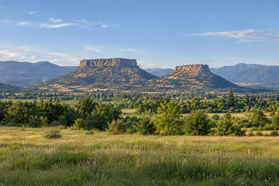
Medford, OR
59.2 mi
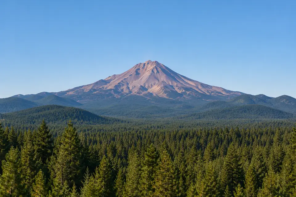
Mount Shasta, CA
65.5 mi
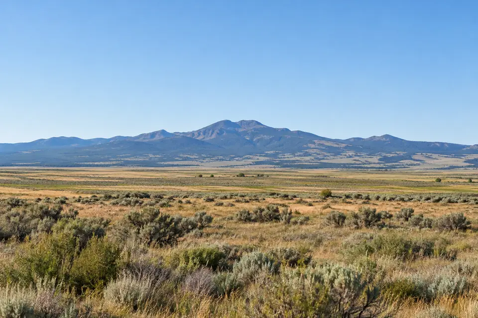
Alturas, CA
77.4 mi
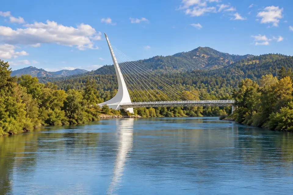
Redding, CA
117.4 mi
Brookings, OR
130.1 mi
Klamath County, OR
county average
Oregon
every city and county
About these figures
Daily records for Klamath Falls, OR run from 1897 to 14 November 2026, with 1598 days missing; current station KLAMATH FALLS AG STA.
Our calculation from NOAA records for Klamath Falls, OR, 1897 to 2026. Preliminary until NOAA's final data.